Cattle Street flats, Neath
Introduction
The photograph on this page of Cattle Street flats, Neath by Jaggery as part of the Geograph project.
The Geograph project started in 2005 with the aim of publishing, organising and preserving representative images for every square kilometre of Great Britain, Ireland and the Isle of Man.

There are currently over 7.5m images from over 14,400 individuals and you can help contribute to the project by visiting https://www.geograph.org.uk
Cattle Street flats, Neath
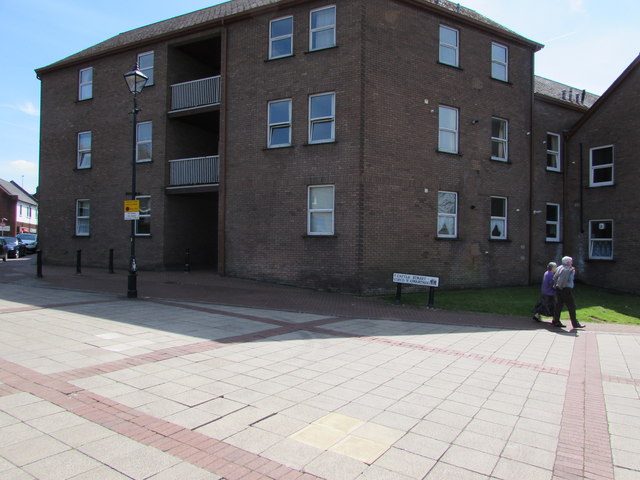
Image: © Jaggery Taken: 5 May 2016
The bilingual street name sign shows that Cattle Street is Stryd y Gwartheg in Welsh.
Images are licensed for reuse under creativecommons.org/licenses/by-sa/2.0
Image Location


Leaflet Map data © OpenStreetMap
Latitude
51.66448
Longitude
-3.803833