Site of a former chapel in Gowerton
Introduction
The photograph on this page of Site of a former chapel in Gowerton by Bill Boaden as part of the Geograph project.
The Geograph project started in 2005 with the aim of publishing, organising and preserving representative images for every square kilometre of Great Britain, Ireland and the Isle of Man.

There are currently over 7.5m images from over 14,400 individuals and you can help contribute to the project by visiting https://www.geograph.org.uk
Site of a former chapel in Gowerton
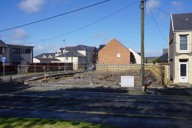
Image: © Bill Boaden Taken: 6 Apr 2016
There has been much housing expansion in Gowerton, and this site of a former chapel is likely to be swallowed up for the same purpose soon.
Images are licensed for reuse under creativecommons.org/licenses/by-sa/2.0
Image Location
Latitude
51.647286
Longitude
-4.03587