Cycle path at Bridgend
Introduction
The photograph on this page of Cycle path at Bridgend by Thomas Nugent as part of the Geograph project.
The Geograph project started in 2005 with the aim of publishing, organising and preserving representative images for every square kilometre of Great Britain, Ireland and the Isle of Man.

There are currently over 7.5m images from over 14,400 individuals and you can help contribute to the project by visiting https://www.geograph.org.uk
Cycle path at Bridgend
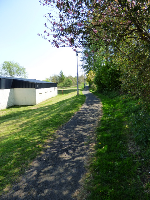
Image: © Thomas Nugent Taken: 12 May 2016
National Cycle Network Route 75 runs on the course of the former Glasgow to Princes Pier railway line at this point. The building on the left is District No 19 Orange Lodge.
Images are licensed for reuse under creativecommons.org/licenses/by-sa/2.0
Image Location
Latitude
55.927144
Longitude
-4.672734