Junction of ways near Theobalds Manor
Introduction
The photograph on this page of Junction of ways near Theobalds Manor by Robin Webster as part of the Geograph project.
The Geograph project started in 2005 with the aim of publishing, organising and preserving representative images for every square kilometre of Great Britain, Ireland and the Isle of Man.

There are currently over 7.5m images from over 14,400 individuals and you can help contribute to the project by visiting https://www.geograph.org.uk
Junction of ways near Theobalds Manor
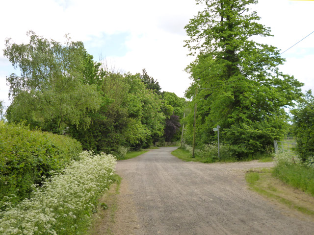
Image: © Robin Webster Taken: 24 May 2016
Oldpark Ride, public bridleway Cheshunt 73, goes straight on. Footpath Cheshunt 49 leads off to the left towards Broadfield Farm.
Images are licensed for reuse under creativecommons.org/licenses/by-sa/2.0
Image Location
Latitude
51.690785
Longitude
-0.07407