Manchester Ship Canal at Runcorn
Introduction
The photograph on this page of Manchester Ship Canal at Runcorn by Bob Jones as part of the Geograph project.
The Geograph project started in 2005 with the aim of publishing, organising and preserving representative images for every square kilometre of Great Britain, Ireland and the Isle of Man.

There are currently over 7.5m images from over 14,400 individuals and you can help contribute to the project by visiting https://www.geograph.org.uk
Manchester Ship Canal at Runcorn
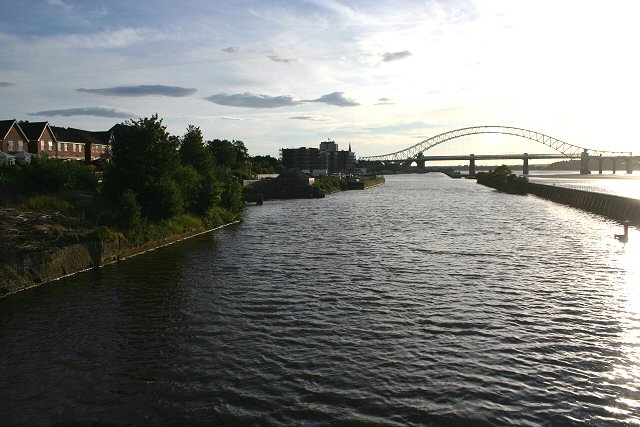
Image: © Bob Jones Taken: 14 Jul 2007
Looking west into the evening sun, from the old swing bridge leading to Wigg Island Community Park.
Images are licensed for reuse under creativecommons.org/licenses/by-sa/2.0
Image Location
Latitude
53.344374
Longitude
-2.727543