Burninghill Wood Colliery Site
Introduction
The photograph on this page of Burninghill Wood Colliery Site by Mary and Angus Hogg as part of the Geograph project.
The Geograph project started in 2005 with the aim of publishing, organising and preserving representative images for every square kilometre of Great Britain, Ireland and the Isle of Man.

There are currently over 7.5m images from over 14,400 individuals and you can help contribute to the project by visiting https://www.geograph.org.uk
Burninghill Wood Colliery Site
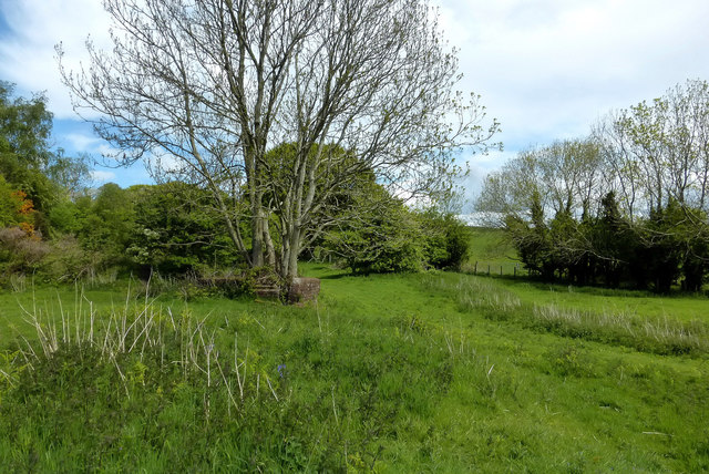
Image: © Mary and Angus Hogg Taken: 22 May 2016
The name Burninghill Wood comes from an incident in 1749 when a pit here collapsed and caught fire. The heat began to burn the surrounding coal leading to an underground fire that lasted into the 1880s. Steam and smoke were often seen at surface. Another part of the valley side, 2-3 miles away, is also called Burning Hill and marks the other end of the same incident. There’s still a smell of tar in Glenshalloch Wood in Image
Images are licensed for reuse under creativecommons.org/licenses/by-sa/2.0
Image Location
Latitude
55.293097
Longitude
-4.712471