Former chapel, Great Barrow
Introduction
The photograph on this page of Former chapel, Great Barrow by Dave Dunford as part of the Geograph project.
The Geograph project started in 2005 with the aim of publishing, organising and preserving representative images for every square kilometre of Great Britain, Ireland and the Isle of Man.

There are currently over 7.5m images from over 14,400 individuals and you can help contribute to the project by visiting https://www.geograph.org.uk
Former chapel, Great Barrow
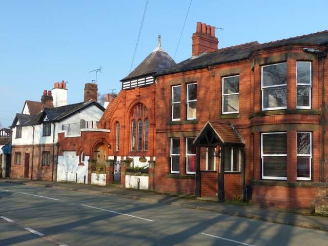
Image: © Dave Dunford Taken: 14 Apr 2016
I'm guessing this is the former Methodist Chapel on Barrow Lane mentioned as having closed in 1981. An adjacent property is called Chapel Yard, which supports this suspicion.
Images are licensed for reuse under creativecommons.org/licenses/by-sa/2.0
Image Location
Latitude
53.21045
Longitude
-2.796097