Great Ponton
Introduction
The photograph on this page of Great Ponton by Richard Webb as part of the Geograph project.
The Geograph project started in 2005 with the aim of publishing, organising and preserving representative images for every square kilometre of Great Britain, Ireland and the Isle of Man.

There are currently over 7.5m images from over 14,400 individuals and you can help contribute to the project by visiting https://www.geograph.org.uk
Great Ponton
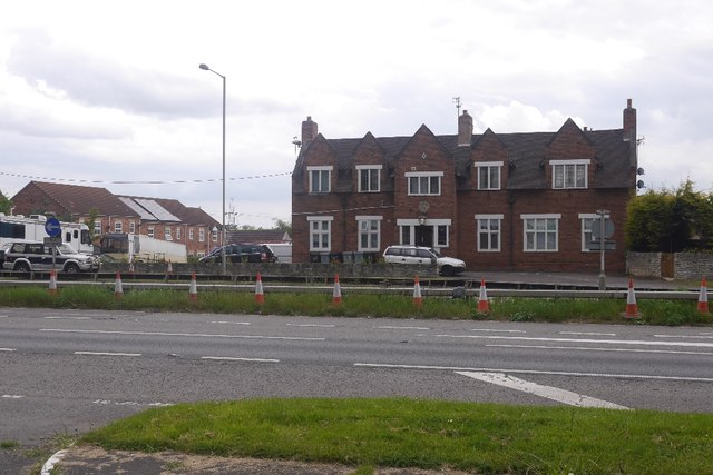
Image: © Richard Webb Taken: 22 May 2016
Looking over the A1 to a house with a clock on it. A 1905 map shows that a pub stood here, The Blue Horse. View from garage forecourt where fuel was about 5p/l cheaper than anywhere else on the A1.
Images are licensed for reuse under creativecommons.org/licenses/by-sa/2.0
Image Location
Latitude
52.862177
Longitude
-0.629127