The Orchards, Lydney
Introduction
The photograph on this page of The Orchards, Lydney by Jaggery as part of the Geograph project.
The Geograph project started in 2005 with the aim of publishing, organising and preserving representative images for every square kilometre of Great Britain, Ireland and the Isle of Man.

There are currently over 7.5m images from over 14,400 individuals and you can help contribute to the project by visiting https://www.geograph.org.uk
The Orchards, Lydney
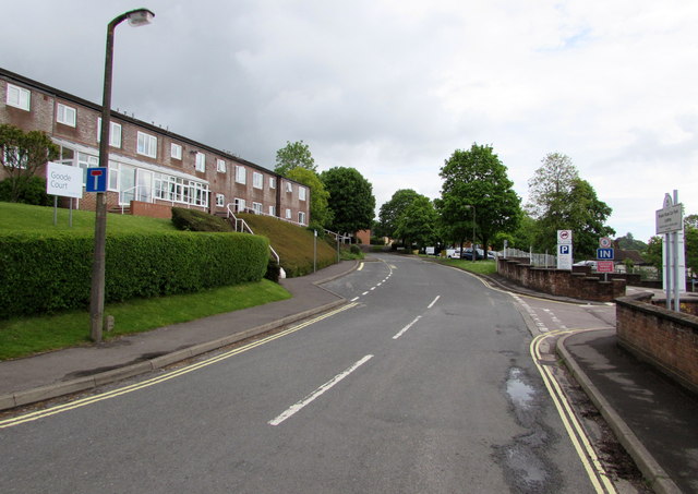
Image: © Jaggery Taken: 22 May 2016
Dead-end road extending northeastwards for 130 metres from the B4231 Bream Road. Goode Court http://www.geograph.org.uk/photo/4963840 is on the left. Bream Road car park http://www.geograph.org.uk/photo/4963847 is on the right.
Images are licensed for reuse under creativecommons.org/licenses/by-sa/2.0
Image Location
Latitude
51.726752
Longitude
-2.534052