Feeder at the Manor Road Winding Hole
Introduction
The photograph on this page of Feeder at the Manor Road Winding Hole by Mat Fascione as part of the Geograph project.
The Geograph project started in 2005 with the aim of publishing, organising and preserving representative images for every square kilometre of Great Britain, Ireland and the Isle of Man.

There are currently over 7.5m images from over 14,400 individuals and you can help contribute to the project by visiting https://www.geograph.org.uk
Feeder at the Manor Road Winding Hole
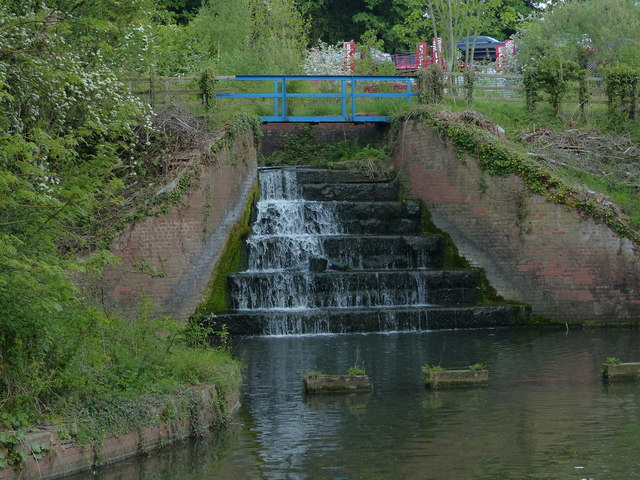
Image: © Mat Fascione Taken: 22 May 2016
The feeder is providing water to the Chesterfield Canal from the Harthill Reservoir.
Images are licensed for reuse under creativecommons.org/licenses/by-sa/2.0
Image Location
Latitude
53.336012
Longitude
-1.242635