The Brickyard Community Centre
Introduction
The photograph on this page of The Brickyard Community Centre by Alan Murray-Rust as part of the Geograph project.
The Geograph project started in 2005 with the aim of publishing, organising and preserving representative images for every square kilometre of Great Britain, Ireland and the Isle of Man.

There are currently over 7.5m images from over 14,400 individuals and you can help contribute to the project by visiting https://www.geograph.org.uk
The Brickyard Community Centre
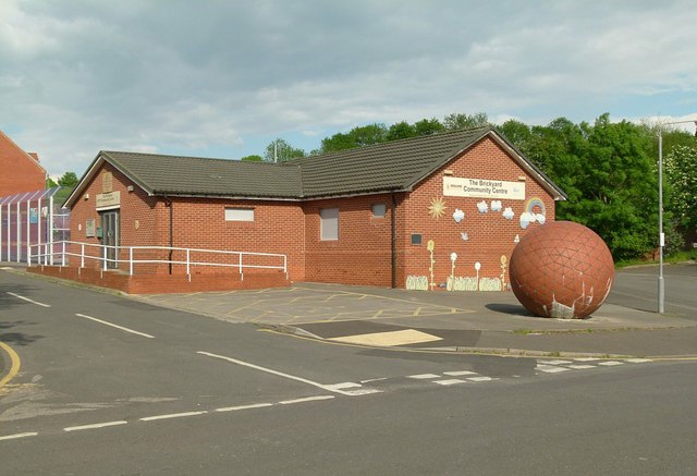
Image: © Alan Murray-Rust Taken: 23 May 2016
The brickyard estate was built inside the quarry area of the Thorneywood Brickworks. The ball http://www.geograph.org.uk/photo/4963392 seems to be quite a recent addition.
Images are licensed for reuse under creativecommons.org/licenses/by-sa/2.0
Image Location
Latitude
52.965778
Longitude
-1.116607