Flood warning monitoring station, Ystradgynlais
Introduction
The photograph on this page of Flood warning monitoring station, Ystradgynlais by Jaggery as part of the Geograph project.
The Geograph project started in 2005 with the aim of publishing, organising and preserving representative images for every square kilometre of Great Britain, Ireland and the Isle of Man.

There are currently over 7.5m images from over 14,400 individuals and you can help contribute to the project by visiting https://www.geograph.org.uk
Flood warning monitoring station, Ystradgynlais
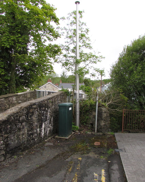
Image: © Jaggery Taken: 20 May 2016
The dark green Environment Agency cabinet is located here http://www.geograph.org.uk/photo/4962878 on the east bank of the River Tawe.
Images are licensed for reuse under creativecommons.org/licenses/by-sa/2.0
Image Location


Leaflet Map data © OpenStreetMap
Latitude
51.780372
Longitude
-3.757424