Church of St Nicholas burial ground, Church Lane to Newport, Lincoln
Introduction
The photograph on this page of Church of St Nicholas burial ground, Church Lane to Newport, Lincoln by Jo and Steve Turner as part of the Geograph project.
The Geograph project started in 2005 with the aim of publishing, organising and preserving representative images for every square kilometre of Great Britain, Ireland and the Isle of Man.

There are currently over 7.5m images from over 14,400 individuals and you can help contribute to the project by visiting https://www.geograph.org.uk
Church of St Nicholas burial ground, Church Lane to Newport, Lincoln
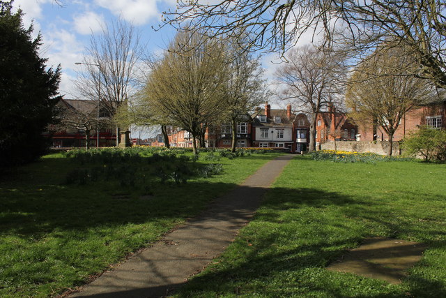
Image: © Jo and Steve Turner Taken: 22 Mar 2014
The cemetery of the original High Medieval Era Church of St Nicholas. The two churches of St. Nicholas and St. John Baptist date from the 12th century, being granted by King Henry I. St Nicholas' church was rebuilt in approximately 1280. The church was destroyed in 1643 during the Civil War although in 1602 the chancel was recorded as in a state of decay. The benefice of St Nicholas was preserved by the preaching of an annual sermon in the churchyard and parish business was carried out in the local public house "The Turk's Head". The Lincolnshire Advertiser wrote in 1835 about the need to provide churches and subsequently the foundation stone of the new St Nicholas' was laid in April 1839, and the building was consecrated on 24th November, 1840 by Bishop John Kay. Not far north of the new church is Wilsons Cottages built in the early 18th century out of reclaimed church materials. The south boundary of the cemetery was moved north when church lane was widened in 1826 but the present boundary wall is made of reused medieval masonry. According to Venables the wall of the graveyard was constructed from the remains of the church in 1757. The north-east corner of the churchyard appears to have been encroached upon by No.1 Church Lane.
Images are licensed for reuse under creativecommons.org/licenses/by-sa/2.0
Image Location
Latitude
53.237857
Longitude
-0.538038