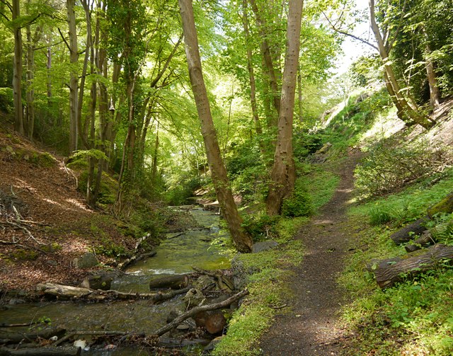
Aultnaskiach Dell
Introduction
The photograph on this page of Aultnaskiach Dell by Craig Wallace as part of the Geograph project.
The Geograph project started in 2005 with the aim of publishing, organising and preserving representative images for every square kilometre of Great Britain, Ireland and the Isle of Man.
There are currently over 7.5m images from over 14,400 individuals and you can help contribute to the project by visiting https://www.geograph.org.uk

Image: © Craig Wallace Taken: 22 May 2016
Aultnaskiach Dell is a thin strip of woodland, alongside the Allt na Sgitheach (Aultnaskiach Burn). Much of it is a fairly steep gorge, with a variety of tall trees. It can be accessed by a path off Drummond Road. For the last few years, Aultnaskiach Dell has been managed by a community group, who are aiming to take ownership of it. Work has been going on to plant native trees, and remove invasive species. http://aultnaskiachdell.blogspot.co.uk/
Image Location


