Paisley from the air
Introduction
The photograph on this page of Paisley from the air by Thomas Nugent as part of the Geograph project.
The Geograph project started in 2005 with the aim of publishing, organising and preserving representative images for every square kilometre of Great Britain, Ireland and the Isle of Man.

There are currently over 7.5m images from over 14,400 individuals and you can help contribute to the project by visiting https://www.geograph.org.uk
Paisley from the air
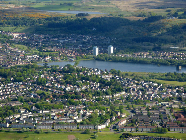
Image: © Thomas Nugent Taken: 15 May 2016
Morar Drive is in the foreground, with Stanely Reservoir and its castle dominating the background. Glenburn Reservoir can be seen on the hill.
Images are licensed for reuse under creativecommons.org/licenses/by-sa/2.0
Image Location
Latitude
55.833826
Longitude
-4.458224