Trackbed of the Halwill to Launceston Branch
Introduction
The photograph on this page of Trackbed of the Halwill to Launceston Branch by Guy Wareham as part of the Geograph project.
The Geograph project started in 2005 with the aim of publishing, organising and preserving representative images for every square kilometre of Great Britain, Ireland and the Isle of Man.

There are currently over 7.5m images from over 14,400 individuals and you can help contribute to the project by visiting https://www.geograph.org.uk
Trackbed of the Halwill to Launceston Branch
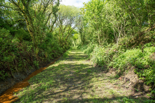
Image: © Guy Wareham Taken: 22 May 2016
A bridleway now runs along this section of the dismantled railway.
Images are licensed for reuse under creativecommons.org/licenses/by-sa/2.0
Image Location
Latitude
50.781842
Longitude
-4.224876