Footpath to the top of a reclaimed slag heap
Introduction
The photograph on this page of Footpath to the top of a reclaimed slag heap by Graham Hogg as part of the Geograph project.
The Geograph project started in 2005 with the aim of publishing, organising and preserving representative images for every square kilometre of Great Britain, Ireland and the Isle of Man.

There are currently over 7.5m images from over 14,400 individuals and you can help contribute to the project by visiting https://www.geograph.org.uk
Footpath to the top of a reclaimed slag heap
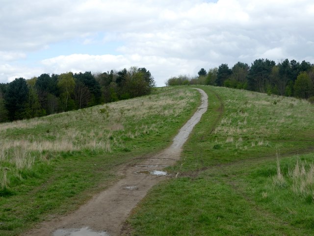
Image: © Graham Hogg Taken: 3 May 2016
Once part of Kirkby Colliery, which closed in 1968, now public open space.
Images are licensed for reuse under creativecommons.org/licenses/by-sa/2.0
Image Location
Latitude
53.110115
Longitude
-1.256468