Lorkin's Lane
Introduction
The photograph on this page of Lorkin's Lane by Robin Webster as part of the Geograph project.
The Geograph project started in 2005 with the aim of publishing, organising and preserving representative images for every square kilometre of Great Britain, Ireland and the Isle of Man.

There are currently over 7.5m images from over 14,400 individuals and you can help contribute to the project by visiting https://www.geograph.org.uk
Lorkin's Lane
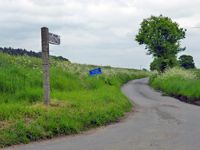
Image: © Robin Webster Taken: 21 May 2016
The fingerpost admits it is a way to Great Henny, but claims it is unsuitable for motor vehicles. The modern blue sign eases this to unsuitable for heavy goods vehicles.
Images are licensed for reuse under creativecommons.org/licenses/by-sa/2.0
Image Location
Latitude
51.983988
Longitude
0.700898