College Hill, Steyning
Introduction
The photograph on this page of College Hill, Steyning by Simon Carey as part of the Geograph project.
The Geograph project started in 2005 with the aim of publishing, organising and preserving representative images for every square kilometre of Great Britain, Ireland and the Isle of Man.

There are currently over 7.5m images from over 14,400 individuals and you can help contribute to the project by visiting https://www.geograph.org.uk
College Hill, Steyning
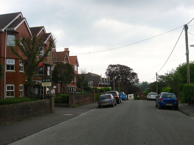
Image: © Simon Carey Taken: 15 May 2016
College Hill runs from High Street to Goring Road and was laid out by the late 1890s though development was intermittent in the years after. On the left is Swallowmead a development containing three blocks of flats that was constructed around 2003-04 on the site of a former large house called Swallowfield that ended its existence as a care home.
Images are licensed for reuse under creativecommons.org/licenses/by-sa/2.0
Image Location
Latitude
50.885381
Longitude
-0.324713