Crumbling retaining wall by The Serpent Trail
Introduction
The photograph on this page of Crumbling retaining wall by The Serpent Trail by Peter Holmes as part of the Geograph project.
The Geograph project started in 2005 with the aim of publishing, organising and preserving representative images for every square kilometre of Great Britain, Ireland and the Isle of Man.

There are currently over 7.5m images from over 14,400 individuals and you can help contribute to the project by visiting https://www.geograph.org.uk
Crumbling retaining wall by The Serpent Trail
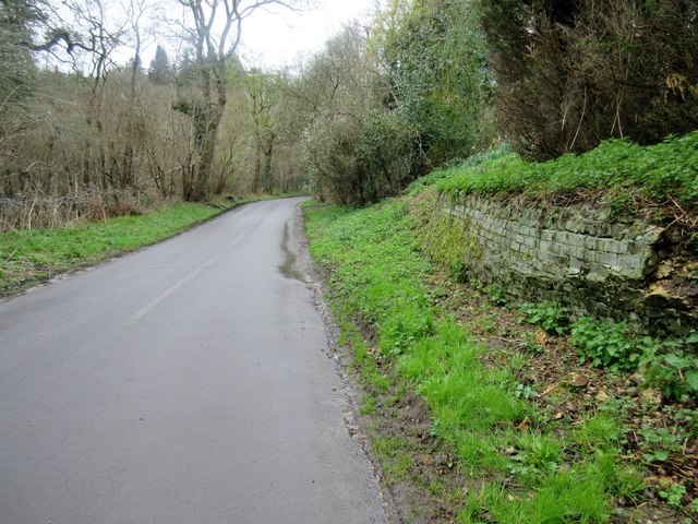
Image: © Peter Holmes Taken: 16 Apr 2016
The Serpent Trail is a 64 mile long distance footpath from Haslemere to Petersfield. The route is designed to join up the many heathland areas on greensand in the western Weald.
Images are licensed for reuse under creativecommons.org/licenses/by-sa/2.0
Image Location
Latitude
50.963366
Longitude
-0.660266