Henderson Walk, Steyning
Introduction
The photograph on this page of Henderson Walk, Steyning by Simon Carey as part of the Geograph project.
The Geograph project started in 2005 with the aim of publishing, organising and preserving representative images for every square kilometre of Great Britain, Ireland and the Isle of Man.

There are currently over 7.5m images from over 14,400 individuals and you can help contribute to the project by visiting https://www.geograph.org.uk
Henderson Walk, Steyning
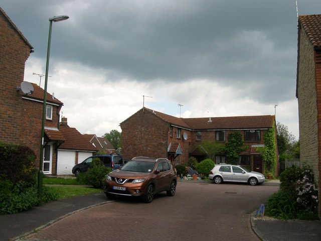
Image: © Simon Carey Taken: 15 May 2016
A residential road that runs from Cannons Way to Farnefold Road that was built in the mid 1980s on land vacated by Gatewick Farm after the construction of the Steyning By-Pass in 1981. Numbers 1-7 are located in this small cul de sac.
Images are licensed for reuse under creativecommons.org/licenses/by-sa/2.0
Image Location
Latitude
50.894094
Longitude
-0.323974