St Swithun's Way near Bentley
Introduction
The photograph on this page of St Swithun's Way near Bentley by Alan Hunt as part of the Geograph project.
The Geograph project started in 2005 with the aim of publishing, organising and preserving representative images for every square kilometre of Great Britain, Ireland and the Isle of Man.

There are currently over 7.5m images from over 14,400 individuals and you can help contribute to the project by visiting https://www.geograph.org.uk
St Swithun's Way near Bentley
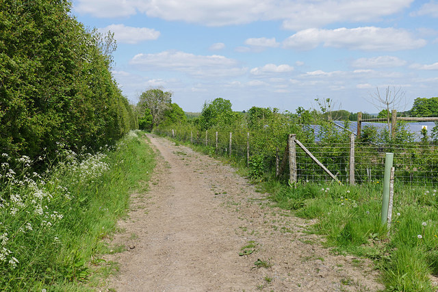
Image: © Alan Hunt Taken: 14 May 2016
The stretch of St Swithun's Way running between Old Farnham Lane and Crondall Road along the edge of the solar farm near Gully Copse.
Images are licensed for reuse under creativecommons.org/licenses/by-sa/2.0
Image Location
Latitude
51.206742
Longitude
-0.849622