Tarvin Community Woodland
Introduction
The photograph on this page of Tarvin Community Woodland by Dave Dunford as part of the Geograph project.
The Geograph project started in 2005 with the aim of publishing, organising and preserving representative images for every square kilometre of Great Britain, Ireland and the Isle of Man.

There are currently over 7.5m images from over 14,400 individuals and you can help contribute to the project by visiting https://www.geograph.org.uk
Tarvin Community Woodland
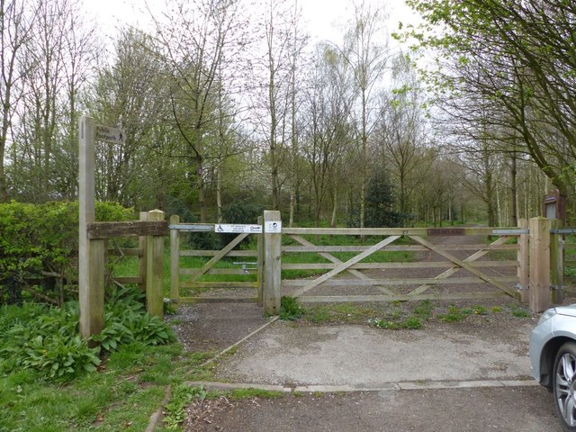
Image: © Dave Dunford Taken: 14 Apr 2016
Narrow strip of woodland alongside the A51. Winner of the Countryside and Wildlife Award 2000.
Images are licensed for reuse under creativecommons.org/licenses/by-sa/2.0
Image Location
Latitude
53.190171
Longitude
-2.763094