Highland Croft, Steyning
Introduction
The photograph on this page of Highland Croft, Steyning by Simon Carey as part of the Geograph project.
The Geograph project started in 2005 with the aim of publishing, organising and preserving representative images for every square kilometre of Great Britain, Ireland and the Isle of Man.

There are currently over 7.5m images from over 14,400 individuals and you can help contribute to the project by visiting https://www.geograph.org.uk
Highland Croft, Steyning
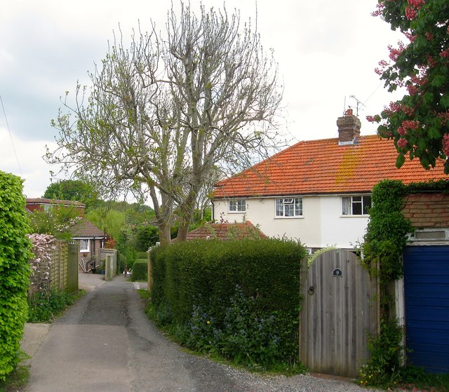
Image: © Simon Carey Taken: 15 May 2016
A housing estate begun in the 1930s and completed by the 1950s and bounded by Tanyard Lane, Elmgrove Lane, Chantry Lane and the rear of the houses in Church Street. A small access road runs diagonally down the middle following the course of ancient right of way which remains a public footpath today.
Images are licensed for reuse under creativecommons.org/licenses/by-sa/2.0
Image Location
Latitude
50.890196
Longitude
-0.328095