Smugglers' Road, Vales Moor, New Forest
Introduction
The photograph on this page of Smugglers' Road, Vales Moor, New Forest by Jim Champion as part of the Geograph project.
The Geograph project started in 2005 with the aim of publishing, organising and preserving representative images for every square kilometre of Great Britain, Ireland and the Isle of Man.

There are currently over 7.5m images from over 14,400 individuals and you can help contribute to the project by visiting https://www.geograph.org.uk
Smugglers' Road, Vales Moor, New Forest
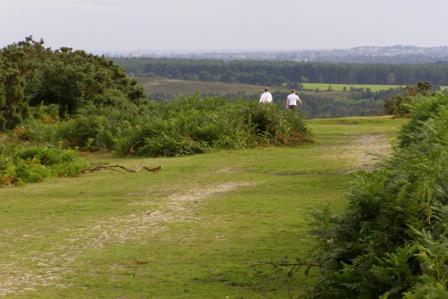
Image: © Jim Champion Taken: 14 Jul 2007
This wide track along a ridge from Picket Plain is known as Smugglers' Road. At one time it was a preferred route for smugglers who brought their illicit goods inland from the coast. In the far distance, towards the left of the photo, Christchurch Priory is visible. Christchurch has a large shallow harbour, where the Avon and Stour rivers meet - one of the many smugglers' landing sites on this part of the south coast. The Smugglers' Road meets the edge of the New Forest at Knaves Ash.
Images are licensed for reuse under creativecommons.org/licenses/by-sa/2.0
Image Location
Latitude
50.838374
Longitude
-1.733244