The Deplh
Introduction
The photograph on this page of The Deplh by Geraint Roberts as part of the Geograph project.
The Geograph project started in 2005 with the aim of publishing, organising and preserving representative images for every square kilometre of Great Britain, Ireland and the Isle of Man.

There are currently over 7.5m images from over 14,400 individuals and you can help contribute to the project by visiting https://www.geograph.org.uk
The Deplh
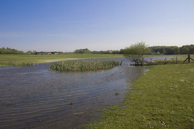
Image: © Geraint Roberts Taken: 12 May 2016
The site of the former Delph clay works. The landscape was changed beyond recognition in the 1970's when an opencast mining company began operations and this small lake appeared.
Images are licensed for reuse under creativecommons.org/licenses/by-sa/2.0
Image Location
Latitude
52.984612
Longitude
-3.073912