Between Gt. Steeping and Halton Holgate: aerial 2016
Introduction
The photograph on this page of Between Gt. Steeping and Halton Holgate: aerial 2016 by Chris as part of the Geograph project.
The Geograph project started in 2005 with the aim of publishing, organising and preserving representative images for every square kilometre of Great Britain, Ireland and the Isle of Man.

There are currently over 7.5m images from over 14,400 individuals and you can help contribute to the project by visiting https://www.geograph.org.uk
Between Gt. Steeping and Halton Holgate: aerial 2016
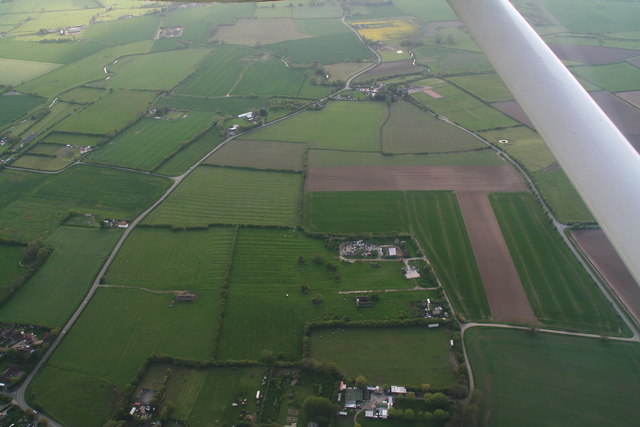
Image: © Chris Taken: 15 May 2016
Looking up Hole Gate. Some ridge and furrow fields visible. See also Image], Image] and Image
Images are licensed for reuse under creativecommons.org/licenses/by-sa/2.0
Image Location
Latitude
53.161073
Longitude
0.140399