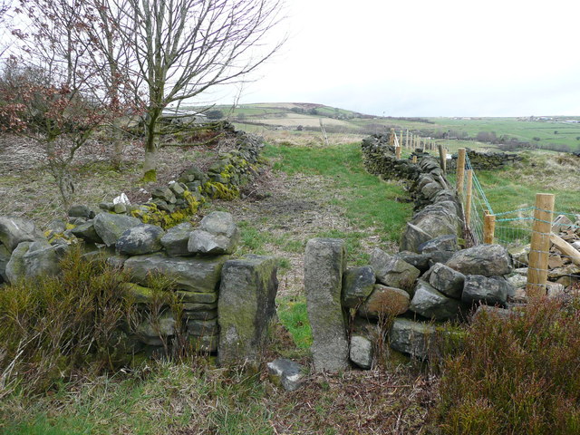
Stile at the side of Hall Lane, Soyland
Introduction
The photograph on this page of Stile at the side of Hall Lane, Soyland by Humphrey Bolton as part of the Geograph project.
The Geograph project started in 2005 with the aim of publishing, organising and preserving representative images for every square kilometre of Great Britain, Ireland and the Isle of Man.
There are currently over 7.5m images from over 14,400 individuals and you can help contribute to the project by visiting https://www.geograph.org.uk

Image: © Humphrey Bolton Taken: 28 Mar 2016
This is near to the viewpoint for Image A footpath to Wicking Lane is shown on the 1893 1:2500 map, although not on the 1850 six-inch map. Both maps show another path opposite to this one, going south to Eccles Parlour at Mount Pleasant. The 1893 map captions that one 'F.P.'. However neither path is on the rights-of-way map.

