Hall Lane, Soyland
Introduction
The photograph on this page of Hall Lane, Soyland by Humphrey Bolton as part of the Geograph project.
The Geograph project started in 2005 with the aim of publishing, organising and preserving representative images for every square kilometre of Great Britain, Ireland and the Isle of Man.

There are currently over 7.5m images from over 14,400 individuals and you can help contribute to the project by visiting https://www.geograph.org.uk
Hall Lane, Soyland
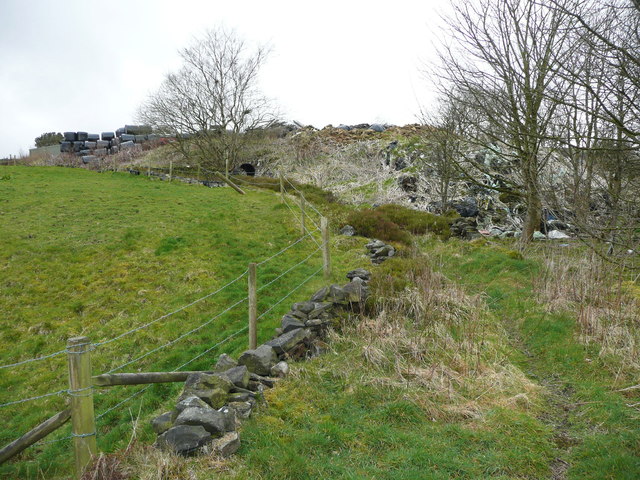
Image: © Humphrey Bolton Taken: 28 Mar 2016
After the lane at Image there is a bend to the right. This view is looking back up to the bend, and you can see how high the rather ugly tip is.
Images are licensed for reuse under creativecommons.org/licenses/by-sa/2.0
Image Location
Latitude
53.689046
Longitude
-1.967557