Hall Lane at Ash Hall Lane, Soyland
Introduction
The photograph on this page of Hall Lane at Ash Hall Lane, Soyland by Humphrey Bolton as part of the Geograph project.
The Geograph project started in 2005 with the aim of publishing, organising and preserving representative images for every square kilometre of Great Britain, Ireland and the Isle of Man.

There are currently over 7.5m images from over 14,400 individuals and you can help contribute to the project by visiting https://www.geograph.org.uk
Hall Lane at Ash Hall Lane, Soyland
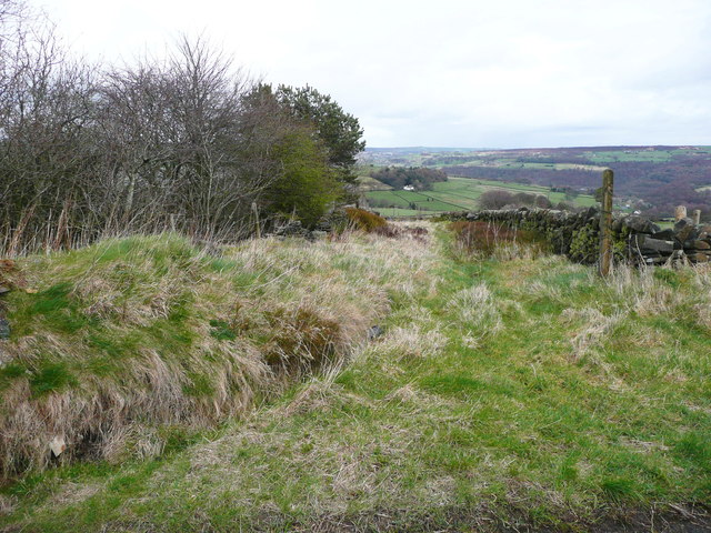
Image: © Humphrey Bolton Taken: 28 Mar 2016
Like most of the lanes around here, this is on the 1850 six-inch map.
Images are licensed for reuse under creativecommons.org/licenses/by-sa/2.0
Image Location
Latitude
53.688507
Longitude
-1.968769