Field, Little Coombe
Introduction
The photograph on this page of Field, Little Coombe by Derek Harper as part of the Geograph project.
The Geograph project started in 2005 with the aim of publishing, organising and preserving representative images for every square kilometre of Great Britain, Ireland and the Isle of Man.

There are currently over 7.5m images from over 14,400 individuals and you can help contribute to the project by visiting https://www.geograph.org.uk
Field, Little Coombe
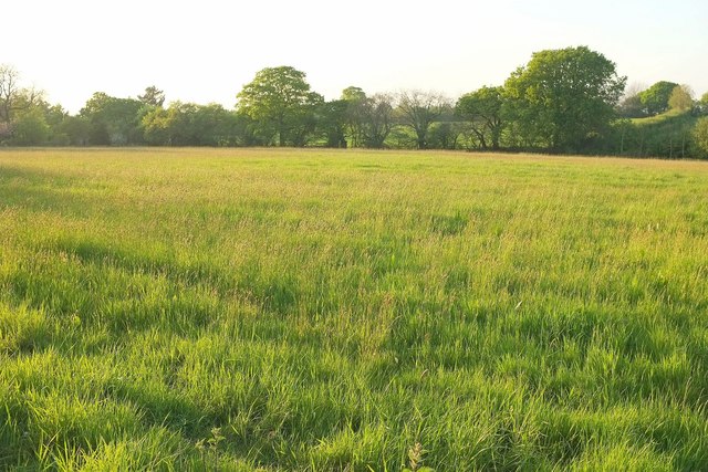
Image: © Derek Harper Taken: 15 May 2016
The lush meadow shown in Image], looking more to the left. A tiny tributary of the Grindle Brook runs along the far side past the trees.
Images are licensed for reuse under creativecommons.org/licenses/by-sa/2.0
Image Location
Latitude
50.686409
Longitude
-3.382973