Path beside a dry-stone wall
Introduction
The photograph on this page of Path beside a dry-stone wall by Lairich Rig as part of the Geograph project.
The Geograph project started in 2005 with the aim of publishing, organising and preserving representative images for every square kilometre of Great Britain, Ireland and the Isle of Man.

There are currently over 7.5m images from over 14,400 individuals and you can help contribute to the project by visiting https://www.geograph.org.uk
Path beside a dry-stone wall
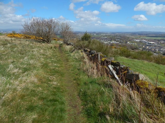
Image: © Lairich Rig Taken: 2 May 2016
At the time of writing, the path is not marked on the map, but the adjacent dry-stone wall and fence are marked as a boundary on the 1:25000 map. See Image for a view in the opposite direction from 60 metres to the south-west on the same path.
Images are licensed for reuse under creativecommons.org/licenses/by-sa/2.0
Image Location
Latitude
55.8028
Longitude
-4.409193