Main Street, Claybrooke Magna
Introduction
The photograph on this page of Main Street, Claybrooke Magna by Alan Murray-Rust as part of the Geograph project.
The Geograph project started in 2005 with the aim of publishing, organising and preserving representative images for every square kilometre of Great Britain, Ireland and the Isle of Man.

There are currently over 7.5m images from over 14,400 individuals and you can help contribute to the project by visiting https://www.geograph.org.uk
Main Street, Claybrooke Magna
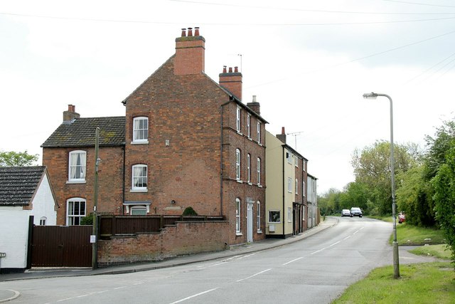
Image: © Alan Murray-Rust Taken: 15 May 2016
This is the former B577, the former Lutterworth and Hinckley turnpike.
Images are licensed for reuse under creativecommons.org/licenses/by-sa/2.0
Image Location
Latitude
52.492107
Longitude
-1.27621