Development site, Helen's Bay (May 2016)
Introduction
The photograph on this page of Development site, Helen's Bay (May 2016) by Albert Bridge as part of the Geograph project.
The Geograph project started in 2005 with the aim of publishing, organising and preserving representative images for every square kilometre of Great Britain, Ireland and the Isle of Man.

There are currently over 7.5m images from over 14,400 individuals and you can help contribute to the project by visiting https://www.geograph.org.uk
Development site, Helen's Bay (May 2016)
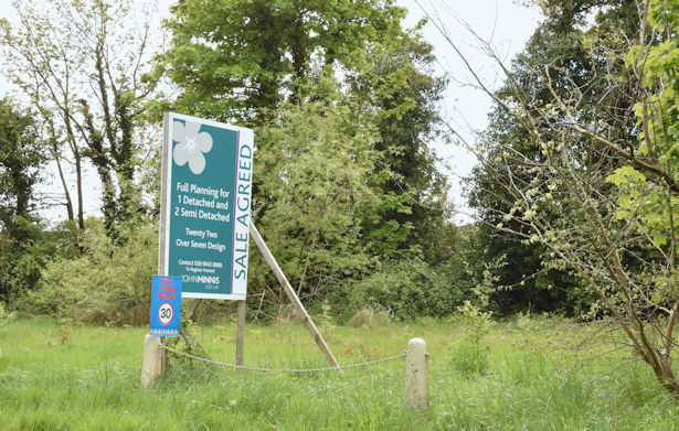
Image: © Albert Bridge Taken: 18 May 2016
A vacant site, on the south western side of the Bridge Road. The agent’s description includes “Full Planning Permission for the Construction of One Detached Property of circa 1800 Square Feet and One Pair of Semi Detached Properties at circa 1500 Square Feet Per Unit (Planning Reference: W/2009/0293/F)”. This photograph appears as a matter of record only. I have no connection with any of the parties involved in the sale of the site.
Images are licensed for reuse under creativecommons.org/licenses/by-sa/2.0
Image Location
Latitude
54.667757
Longitude
-5.74357