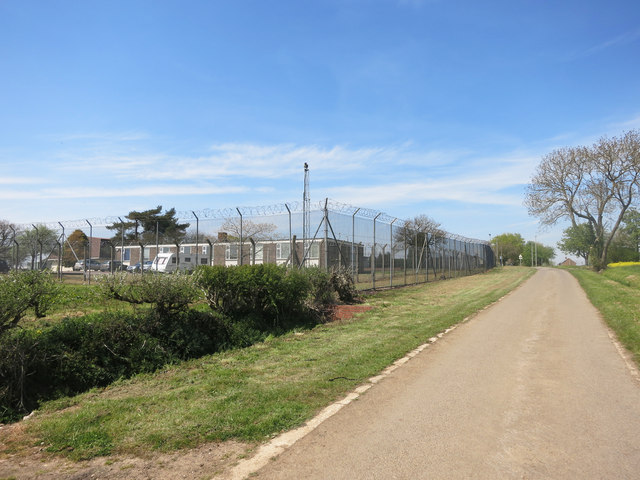
Formerly RAF Bampton Castle
Introduction
The photograph on this page of Formerly RAF Bampton Castle by Des Blenkinsopp as part of the Geograph project.
The Geograph project started in 2005 with the aim of publishing, organising and preserving representative images for every square kilometre of Great Britain, Ireland and the Isle of Man.
There are currently over 7.5m images from over 14,400 individuals and you can help contribute to the project by visiting https://www.geograph.org.uk

Image: © Des Blenkinsopp Taken: 5 May 2016
Wikipedia says "RAF Bampton Castle is a former non-flying Royal Air Force station in Oxfordshire. It was the home of No. 2 and No. 81 Signal Units, which dealt with High Frequency radio communications. The site is now a business centre and all of the antennas have been removed." That last bit's not strictly true because I can see one in this picture, and there's another over the back out of shot, but compared with the dozens shown on older maps there's not a lot here any more. As for Bampton Castle, there was a small castle about 1km north of here which was mostly demolished in 1789, with some remains being incorporated into Ham Court, a manor house still standing on the west side of Bampton. The name was used for the RAF station to avoid confusion as there are several other Bamptons in the country.

