Access road near Hatchford House
Introduction
The photograph on this page of Access road near Hatchford House by Alan Hunt as part of the Geograph project.
The Geograph project started in 2005 with the aim of publishing, organising and preserving representative images for every square kilometre of Great Britain, Ireland and the Isle of Man.

There are currently over 7.5m images from over 14,400 individuals and you can help contribute to the project by visiting https://www.geograph.org.uk
Access road near Hatchford House
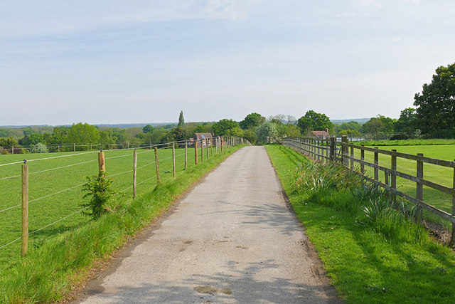
Image: © Alan Hunt Taken: 12 May 2016
The access road and public right of way running south from Ockham Lane and May's Green
Images are licensed for reuse under creativecommons.org/licenses/by-sa/2.0
Image Location
Latitude
51.30658
Longitude
-0.433091