Development site, Cramlington
Introduction
The photograph on this page of Development site, Cramlington by Graham Robson as part of the Geograph project.
The Geograph project started in 2005 with the aim of publishing, organising and preserving representative images for every square kilometre of Great Britain, Ireland and the Isle of Man.

There are currently over 7.5m images from over 14,400 individuals and you can help contribute to the project by visiting https://www.geograph.org.uk
Development site, Cramlington
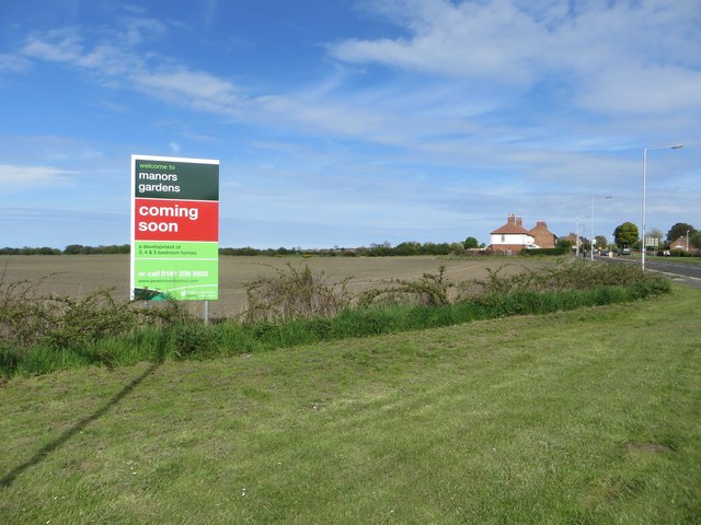
Image: © Graham Robson Taken: 15 May 2016
As the sign proclaims the manors gardens development (for some reason the name of the development on the sign lacks capital letters) will be coming soon. As the field has recently been sown with a crop it probably isn't coming very soon.
Images are licensed for reuse under creativecommons.org/licenses/by-sa/2.0
Image Location


Leaflet Map data © OpenStreetMap
Latitude
55.087487
Longitude
-1.595621