Macdowall Bridge
Introduction
The photograph on this page of Macdowall Bridge by valenta as part of the Geograph project.
The Geograph project started in 2005 with the aim of publishing, organising and preserving representative images for every square kilometre of Great Britain, Ireland and the Isle of Man.

There are currently over 7.5m images from over 14,400 individuals and you can help contribute to the project by visiting https://www.geograph.org.uk
Macdowall Bridge
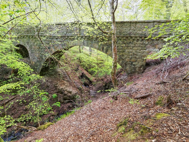
Image: © valenta Taken: 17 May 2016
The category B listed Macdowall Bridge over the Macdowall Burn, built between 1830-1840.
Images are licensed for reuse under creativecommons.org/licenses/by-sa/2.0
Image Location
Latitude
57.496744
Longitude
-3.175902