Paddock, Lower Ton-y-felin Farm
Introduction
The photograph on this page of Paddock, Lower Ton-y-felin Farm by M J Roscoe as part of the Geograph project.
The Geograph project started in 2005 with the aim of publishing, organising and preserving representative images for every square kilometre of Great Britain, Ireland and the Isle of Man.

There are currently over 7.5m images from over 14,400 individuals and you can help contribute to the project by visiting https://www.geograph.org.uk
Paddock, Lower Ton-y-felin Farm
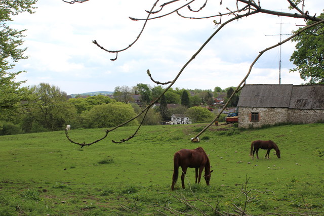
Image: © M J Roscoe Taken: 15 May 2016
Horses graze close to somewhat dilapidated farm buildings. The houses beyond, across the head of the valley, are in Croespenmaen
Images are licensed for reuse under creativecommons.org/licenses/by-sa/2.0
Image Location
Latitude
51.682653
Longitude
-3.162301