Steps and ramps, Spafields, Holywood (May 2016)
Introduction
The photograph on this page of Steps and ramps, Spafields, Holywood (May 2016) by Albert Bridge as part of the Geograph project.
The Geograph project started in 2005 with the aim of publishing, organising and preserving representative images for every square kilometre of Great Britain, Ireland and the Isle of Man.

There are currently over 7.5m images from over 14,400 individuals and you can help contribute to the project by visiting https://www.geograph.org.uk
Steps and ramps, Spafields, Holywood (May 2016)
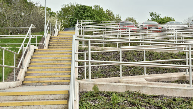
Image: © Albert Bridge Taken: 17 May 2016
Steps and disabled-access ramps leading from the car park to the playing fields Image The existing steps have been retained (out of picture to the right).
Images are licensed for reuse under creativecommons.org/licenses/by-sa/2.0
Image Location
Latitude
54.638345
Longitude
-5.840468