Path in the Fereneze Hills
Introduction
The photograph on this page of Path in the Fereneze Hills by Lairich Rig as part of the Geograph project.
The Geograph project started in 2005 with the aim of publishing, organising and preserving representative images for every square kilometre of Great Britain, Ireland and the Isle of Man.

There are currently over 7.5m images from over 14,400 individuals and you can help contribute to the project by visiting https://www.geograph.org.uk
Path in the Fereneze Hills
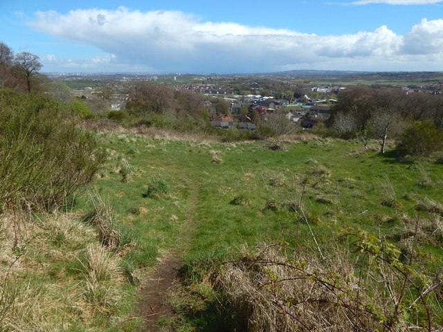
Image: © Lairich Rig Taken: 2 May 2016
This picture, a view downhill, was taken from a point about 180 metres further uphill from Image Barrhead can be seen below. The Image was nearby.
Images are licensed for reuse under creativecommons.org/licenses/by-sa/2.0
Image Location
Latitude
55.803707
Longitude
-4.404142