Polluted stream in Dunvant
Introduction
The photograph on this page of Polluted stream in Dunvant by john bristow as part of the Geograph project.
The Geograph project started in 2005 with the aim of publishing, organising and preserving representative images for every square kilometre of Great Britain, Ireland and the Isle of Man.

There are currently over 7.5m images from over 14,400 individuals and you can help contribute to the project by visiting https://www.geograph.org.uk
Polluted stream in Dunvant
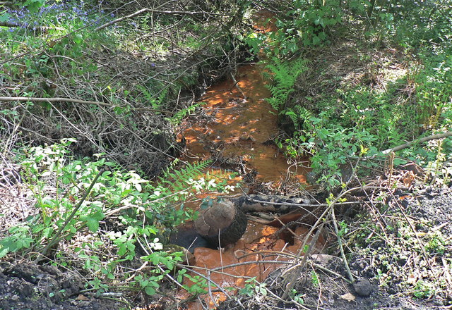
Image: © john bristow Taken: 8 May 2016
The orange colour of the water shows that it is flowing from former mine workings.
Images are licensed for reuse under creativecommons.org/licenses/by-sa/2.0
Image Location
Latitude
51.6291
Longitude
-4.04228