Village Green, Braunston in Rutland
Introduction
The photograph on this page of Village Green, Braunston in Rutland by Alan Murray-Rust as part of the Geograph project.
The Geograph project started in 2005 with the aim of publishing, organising and preserving representative images for every square kilometre of Great Britain, Ireland and the Isle of Man.

There are currently over 7.5m images from over 14,400 individuals and you can help contribute to the project by visiting https://www.geograph.org.uk
Village Green, Braunston in Rutland
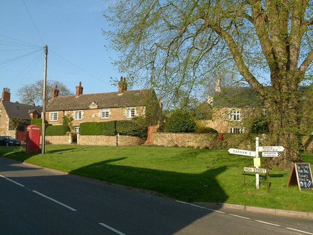
Image: © Alan Murray-Rust Taken: 8 May 2016
The telephone kiosk and the house to its right are both Listed Grade II. The house to the right (Quaintree Hall) has some parts to the rear dating back to possibly the 13th century and is Listed Grade II*, its garden wall is late 18th century, Listed Grade II.
Images are licensed for reuse under creativecommons.org/licenses/by-sa/2.0
Image Location
Latitude
52.651921
Longitude
-0.770827