Swindon Lane, the northern edge of Cheltenham
Introduction
The photograph on this page of Swindon Lane, the northern edge of Cheltenham by David Smith as part of the Geograph project.
The Geograph project started in 2005 with the aim of publishing, organising and preserving representative images for every square kilometre of Great Britain, Ireland and the Isle of Man.

There are currently over 7.5m images from over 14,400 individuals and you can help contribute to the project by visiting https://www.geograph.org.uk
Swindon Lane, the northern edge of Cheltenham
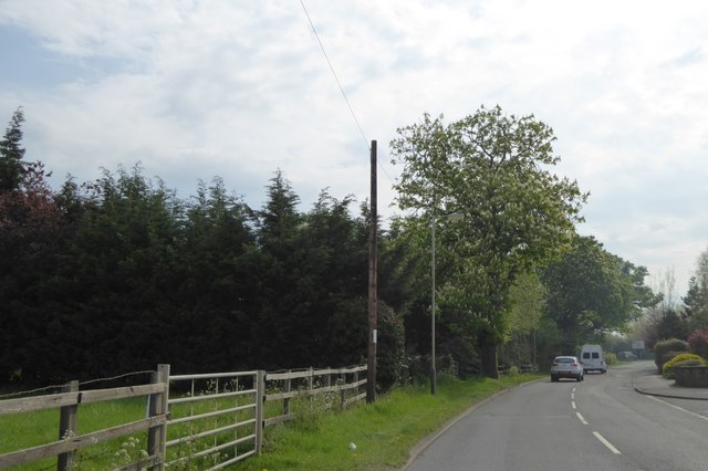
Image: © David Smith Taken: 7 May 2016
To the left, north, there are fields and occasional houses; to the right, there are residential roads
Images are licensed for reuse under creativecommons.org/licenses/by-sa/2.0
Image Location


Leaflet Map data © OpenStreetMap
Latitude
51.916574
Longitude
-2.073521