Farm track and public footpath
Introduction
The photograph on this page of Farm track and public footpath by Trevor Harris as part of the Geograph project.
The Geograph project started in 2005 with the aim of publishing, organising and preserving representative images for every square kilometre of Great Britain, Ireland and the Isle of Man.

There are currently over 7.5m images from over 14,400 individuals and you can help contribute to the project by visiting https://www.geograph.org.uk
Farm track and public footpath
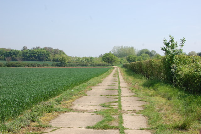
Image: © Trevor Harris Taken: 12 May 2016
East of Messing, this concrete path is one of several built to service Birch airfield (to the east) during World War II.
Images are licensed for reuse under creativecommons.org/licenses/by-sa/2.0
Image Location


Leaflet Map data © OpenStreetMap
Latitude
51.836327
Longitude
0.773925