Federation Street, Barnoldswick, Yorkshire
Introduction
The photograph on this page of Federation Street, Barnoldswick, Yorkshire by Dr Neil Clifton as part of the Geograph project.
The Geograph project started in 2005 with the aim of publishing, organising and preserving representative images for every square kilometre of Great Britain, Ireland and the Isle of Man.

There are currently over 7.5m images from over 14,400 individuals and you can help contribute to the project by visiting https://www.geograph.org.uk
Federation Street, Barnoldswick, Yorkshire
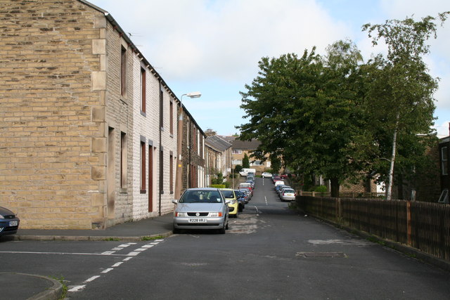
Image: © Dr Neil Clifton Taken: 8 Jul 2007
Looking north west from the end of Federation Street by its junction with Hollins Road. Behind the fence on the right is Hollins Court, sheltered accommodation for elderly people. Further along, Federation Street crosses Harper Street and then continues to its far end at a T-junction with Richmond Road.
Images are licensed for reuse under creativecommons.org/licenses/by-sa/2.0
Image Location
Latitude
53.919168
Longitude
-2.192112