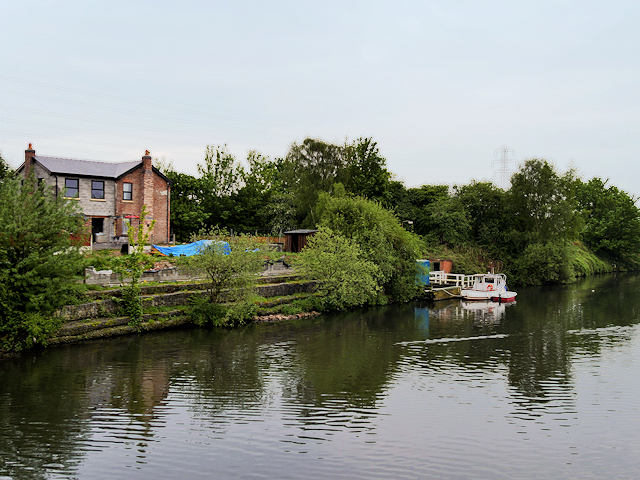
Hulme Bridge Ferry and Ferry House
Introduction
The photograph on this page of Hulme Bridge Ferry and Ferry House by David Dixon as part of the Geograph project.
The Geograph project started in 2005 with the aim of publishing, organising and preserving representative images for every square kilometre of Great Britain, Ireland and the Isle of Man.
There are currently over 7.5m images from over 14,400 individuals and you can help contribute to the project by visiting https://www.geograph.org.uk

Image: © David Dixon Taken: 11 May 2016
The ferry jetty on the south bank of the Manchester Ship Canal. The Hulmes Bridge free Ferry was established in 1885 by an act of parliament making the Manchester Ship Canal owners responsible for providing a free ferry to replace a low lying bridge that had to be demolished to allow access for tall ships up the canal. Although the ferry was closed in 2009, and the ferryman’s house left to fall into disrepair (see Image]) the service was reinstated in 2011 (http://www.urmston.net/forum/forum_detail.asp?ForumTitle=Ship%20Canal%20Ferry - "Urmston net") and runs between April and November. The house is currently being repaired and extended.

