Old pipeline, Sandeel Bay
Introduction
The photograph on this page of Old pipeline, Sandeel Bay by Rossographer as part of the Geograph project.
The Geograph project started in 2005 with the aim of publishing, organising and preserving representative images for every square kilometre of Great Britain, Ireland and the Isle of Man.

There are currently over 7.5m images from over 14,400 individuals and you can help contribute to the project by visiting https://www.geograph.org.uk
Old pipeline, Sandeel Bay
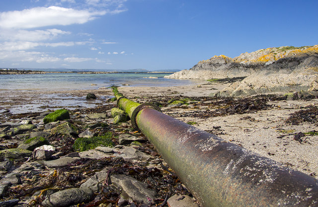
Image: © Rossographer Taken: 14 May 2016
Old cast iron pipe running out into Sandeel Bay, Orlock Image It looks like a disused sewerage outfall.
Images are licensed for reuse under creativecommons.org/licenses/by-sa/2.0
Image Location
Latitude
54.674842
Longitude
-5.589057