Entering Duchess Wood
Introduction
The photograph on this page of Entering Duchess Wood by Lairich Rig as part of the Geograph project.
The Geograph project started in 2005 with the aim of publishing, organising and preserving representative images for every square kilometre of Great Britain, Ireland and the Isle of Man.

There are currently over 7.5m images from over 14,400 individuals and you can help contribute to the project by visiting https://www.geograph.org.uk
Entering Duchess Wood
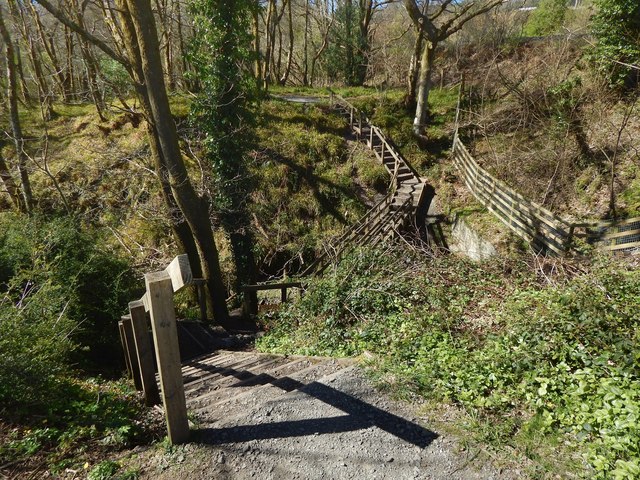
Image: © Lairich Rig Taken: 21 Apr 2016
The bridge is shown from the other side in Image As noted at that item, the path enters the woods where MacLeod Crescent meets Paterson Drive. The footpath descends to cross a burn, then ascends on the other side.
Images are licensed for reuse under creativecommons.org/licenses/by-sa/2.0
Image Location
Latitude
56.016217
Longitude
-4.746444