Bend in the Bohill Wood track
Introduction
The photograph on this page of Bend in the Bohill Wood track by Eric Jones as part of the Geograph project.
The Geograph project started in 2005 with the aim of publishing, organising and preserving representative images for every square kilometre of Great Britain, Ireland and the Isle of Man.

There are currently over 7.5m images from over 14,400 individuals and you can help contribute to the project by visiting https://www.geograph.org.uk
Bend in the Bohill Wood track
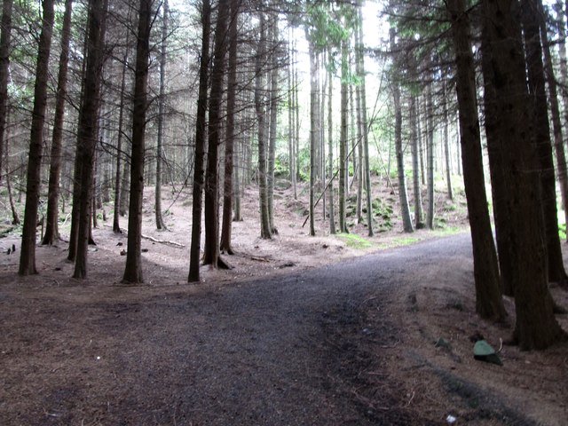
Image: © Eric Jones Taken: 12 May 2016
Bohill Wood is accessed from Tannaghmore Road. The forest is owned by the NI Forestry Service. The notice on the gate warns of the presence of Japanese larch disease and forbids the removal of any wood from the forest. The disease is caused by a fungus-like pathogen known as Phytophthora ramorum.
Images are licensed for reuse under creativecommons.org/licenses/by-sa/2.0
Image Location
Latitude
54.34496
Longitude
-5.854809